|
|
|
|

|
|
© Stéphane Compoint
|
|
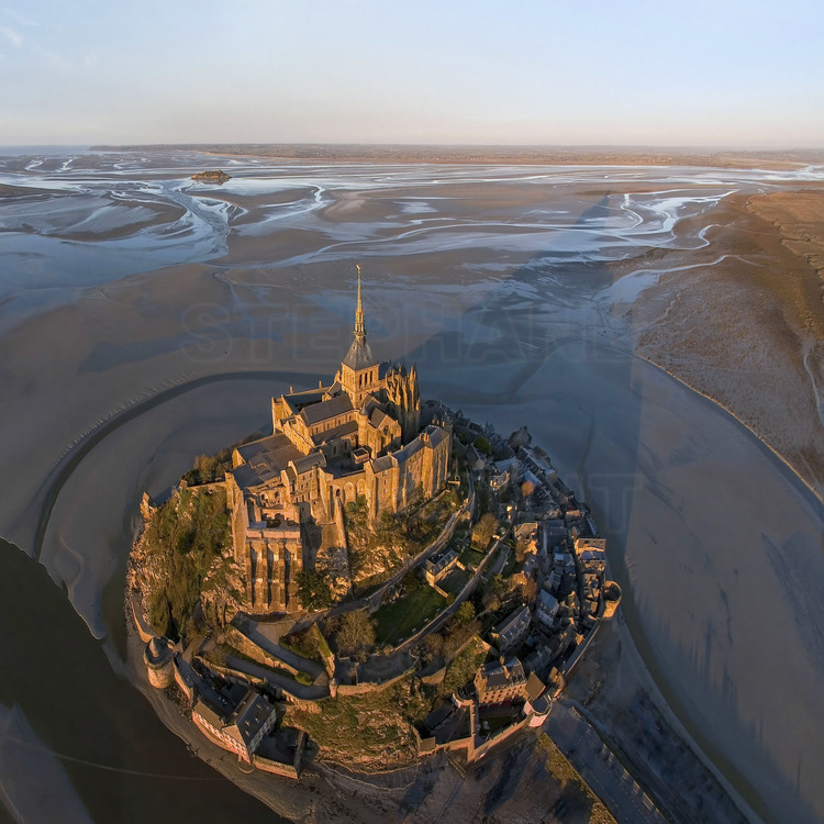
Normandie - Manche (50) : Le Mont Saint Michel au soleil couchant vu du Sud Ouest. En bas a g., le Couesnon, frontiere historique et geographique entre la Normandie et la Bretagne. En arriere plan au centre, l'ilot de Tombelaine, l'autre rocher de la baie. Photo aérienne réalisée depuis un ballon captif. // France - Normandy - Manche (50): Mont Saint Michel at sunset seen from the South West. Bottom left, the Couesnon, historical and geographical border between Normandy and Brittany. In the background in the center, the islet of Tombelaine, the other rock in the bay. Aerial photo taken from a tethered balloon.Normandy - Manche (50): Mont Saint Michel at sunset seen from the South West. Bottom left, the Couesnon, historical and geographical border between Normandy and Brittany. In the background in the center, the islet of Tombelaine, the other rock in the bay. Aerial photo taken from a tethered balloon.
|
|
|
|
|

