|
|
|
|

|
|
© Stéphane Compoint
|
|
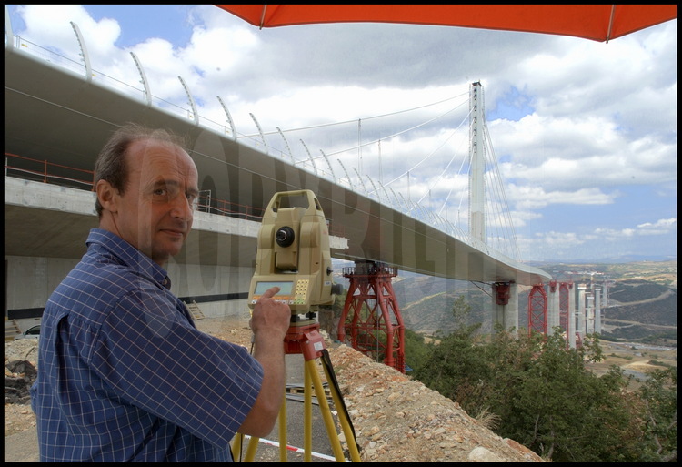
On the south bank (Larzac Limestone Plateau), the surveyor team, headed by Pierre Nottin, checks the shifting of the 4200 tons of metallic roadway during the launching phase. Using a GPS measurement system, recorded quantities come within a centimeter of the exact value. The bridge’s astonishing curvature is due to the roadway’s considerable slant in the last meters of the operation. In red, the rows of piers, temporary supports on which the roadway rests during the launching phase.
|
|
|
|
|

